
Walk a Hoffman Estates Street
A street directory search works best as a chain of dated records. Property systems identify parcels and recorded owners, not every person at an address. A voter lookup checks one person's registration details, not a whole block. Reverse directories can connect an address to a listed subscriber in a particular edition. Keep the source and date beside every name so an old lead is never presented as current.
- Normalize the house number, direction, street name, suffix, unit, ZIP code, and any pre-1978 form.
- Resolve the address in CookViewer or KaneGIS4. Save the county, PIN, and legal description.
- Open the matching assessor or tax card. Separate the situs, which is the parcel location, from the taxpayer mailing line.
- Search the PIN and parties in the Cook or Kane recording index. Read deeds, mortgages, releases, plats, and corrections in date order.
- Add Village permit records, then consult a dated criss-cross or telephone directory for historical address-to-name evidence.
The PIN, or property index number, is the most stable handoff between systems. Names can collide and street labels can change. A PIN and legal description make it far less likely that a search has crossed into the wrong Hoffman Estates parcel.
Split Hoffman Estates by County
Most Hoffman Estates addresses are in Cook County, while a smaller part lies in Kane County. That split determines the assessor, recorder, court, and election office. A village name or ZIP code alone does not settle jurisdiction. Start with the map result and tax card, then stay within that county's systems.
For Cook parcels, use the Cook County Assessor address search, CookViewer, and the Cook County Clerk's Recordings System. For Kane parcels, use Kane County Property Tax Inquiry, KaneGIS4, and the Kane County Recorder. If a result is absent, check the other county only after confirming the boundary. Condo units also need their own PIN or unit identifier.
Note: The postal city and ZIP can cross service boundaries, so the county shown by the parcel source controls the next search.
Search Hoffman Estates Addresses Precisely
The Cook and Kane forms accept different fields. This Hoffman Estates street directory works more reliably when the address is entered in the format each custodian expects. Cook omits the street suffix in its address field, while Kane exposes a separate street-type field.
| Portal route | Fields to enter | Useful result | Limit |
|---|---|---|---|
| Cook Assessor PIN | 14-digit PIN and CAPTCHA | Direct parcel card | PIN must match exactly |
| Cook Assessor address | House number, direction, unit, street without suffix, city, CAPTCHA | Property, taxpayer, sale, permit, and map tabs | Owner is not proof of occupancy |
| Kane DevNet address | House number, street name, street type, city | Tax, district, class, sale, and tax-year fields | Working file, not a tax bill |
| Legacy eTRAKiT | Parcel, house number, or street; operator; search value | Legacy parcel or permit result | Use for older transition-era records |
Cook also offers neighborhood filters for township, neighborhood, and property class. Kane adds owner, sale price and date, subdivision, township, district, class, and tax-year filters. Those filters can narrow a large street, but the final record still needs a matching PIN and situs address.
Hoffman Estates Street Record Chain
No single address database provides the whole answer. Each record set contributes a distinct piece of the street directory, and each has its own access route. Online gaps should lead to the office, research room, or a focused records request.
| Address source | Custodian | What it contributes | Access route |
|---|---|---|---|
| Parcel and tax card | Cook Assessor or Kane tax offices | PIN, situs, taxpayer, class, sales, and tax-year data | Free online search |
| GIS parcel map | Cook, Kane, or Village GIS | Parcel position, nearby lots, subdivisions, and map layers | Public viewer or map hub |
| Recorded documents | Cook County Clerk or Kane Recorder | Deeds, mortgages, liens, plats, legal descriptions, and prior parties | Free index; images, copies, office research |
| Village permits | Hoffman Estates Development Services | Work type, address, applicant or contractor, inspections, and status | Current BS&A, legacy eTRAKiT, or FOIA |
| Historical directories | Schaumburg Township District Library | Dated subscriber or occupant clues by name or address | Reference-desk and in-library use |
The assessor supplies the PIN, the recorder supplies the recorded chain, and permits place physical changes on a timeline. A reverse directory may add a listed name, but only for that volume and its coverage area. For full historical shelf detail, use the Hoffman Estates city directory collections.
Browse Hoffman Estates Parcels by Street
CookViewer can locate an address, intersection, or PIN, then show Property Results and nearby parcels. Its Nearby Search, Property Comparison, layer controls, map print, and report tools help document a segment. The Village public GIS hub adds municipal and construction-map context. Layer names can change, so record the map date and visible layer instead of assuming it will stay fixed.
KaneGIS4 offers parcel, address, subdivision, and condo searches with map, aerial, and hybrid views. Its information windows include tax and map details, while print, KML export, and Street View help preserve the search context. The county warns that parcel geometry may differ from assessed area. It is a map aid, not a survey.
See the KaneGIS4 address and parcel viewer as it appeared during research.
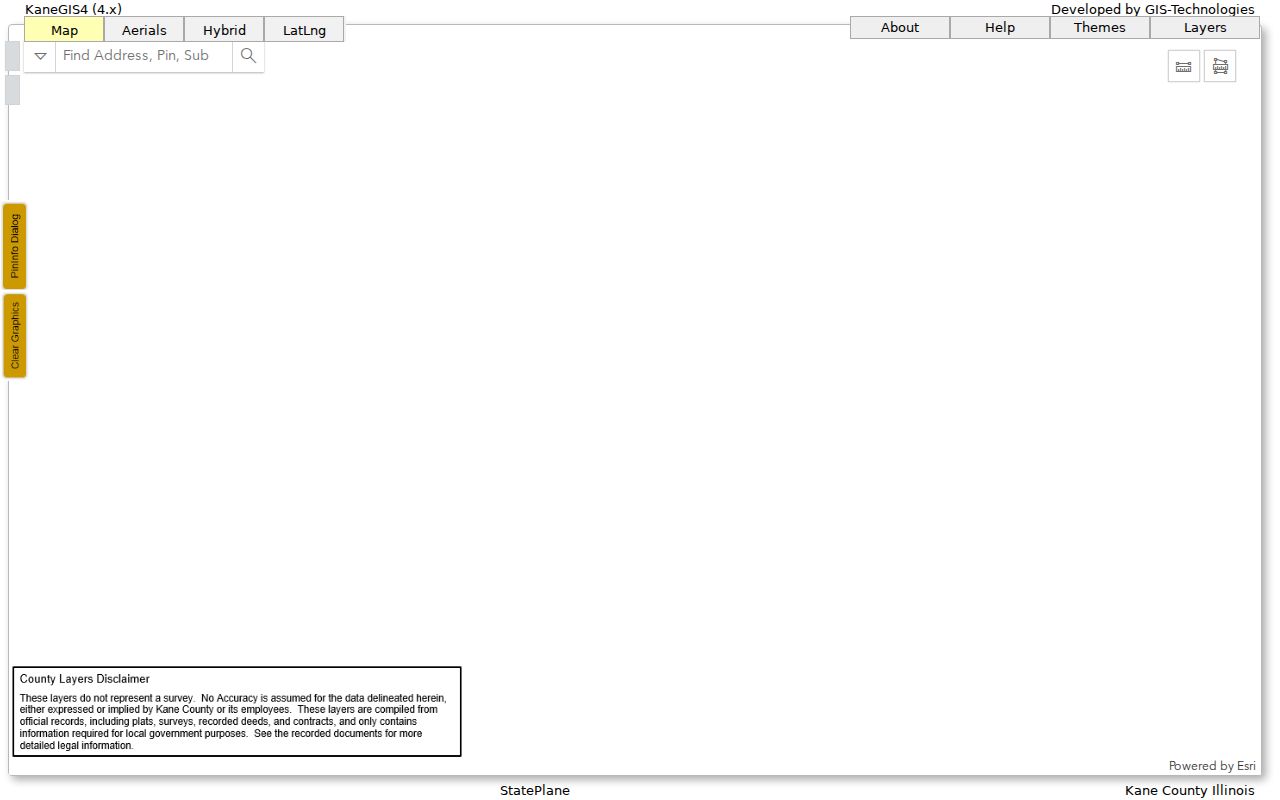
The map screen shows why the parcel identifier and county belong in every street-by-street research note.
Read Hoffman Estates Parcel Terms
Four terms keep an address search tied to the right property. They also prevent a mailing line or old street label from being mistaken for current occupancy.
- Parcel
- A mapped unit of land identified by a county PIN. A building or condo complex may involve more than one parcel.
- Situs address
- The physical location assigned to the parcel, which may differ from the taxpayer's mailing address.
- Plat
- A recorded map showing lots, blocks, subdivisions, and related legal boundaries.
- Criss-cross directory
- A directory arranged by street and house number, allowing a dated address-to-name search.
A legal description can outlast changes to a street number or name. Use it with the PIN when modern address text fails in an older deed index.
Hoffman Estates Renumbered Its Streets
The largest local search trap began with Ordinance 1017-1978. The uniform grid took effect August 1, 1978, after new postal use began that June. About 6,000 residents received new addresses, and 92 street names or segments were affected. The change replaced four grid systems and nonconforming cul-de-sacs with one grid tied to Schaumburg.
The library's street renumbering history gives concrete examples. Kingman became Kankakee across Illinois Boulevard, and Maywood became Maricopa. Even numbers were placed north and west, odd numbers south and east, with a Chicago-style 800 numbers per mile.
For any pre-1978 line, write down both address forms before searching. Then connect them with a plat, legal description, PIN, permit, or dated directory. A failed modern address search may signal a changed label, not an absent resident.
Follow Hoffman Estates Deeds
For most of the village, the Cook Clerk's Recordings System is the deed and lien index. Basic search supports an address or PIN path, and its tips favor PIN, document number, or combinations of party name and street details. Advanced search adds grantor or grantee role, document type, recording date, subdivision, section, township, range, block, lot, and part lot.
A grantor transfers an interest; a grantee receives it. Read the latest deed first, then search the seller as an earlier grantee. Mortgages, releases, trust documents, corrections, and liens may share the same parcel, but they do not all mean the property changed hands. Cook's digital retrieval is strongest from 1985 forward. Older material can require microfilm, books, archival help, or the recording desk.
Kane addresses use the Kane Land Records Search and Recorder research room. Kane records reach back to 1837. In both counties, a recorded owner is evidence of a legal interest, not a list of current household members.
Add Hoffman Estates Permit Dates
Village permits can place a deck, addition, demolition, electrical job, generator, HVAC project, window work, occupancy event, or inspection at an address. Hoffman Estates moved current enterprise services to BS&A on January 26, 2026. The older CentralSquare eTRAKiT parcel and permit search remains useful for legacy records.
Public fields and coverage vary by record type. Search by address, parcel, record number, or available category. When no public hit appears, send a narrow request through the Village Clerk FOIA portal. Name the address, record series, and date range. Fire Prevention keeps a separate route for commercial, industrial, and multifamily inspection records.
Note: A permit applicant or contractor is tied to a project, not necessarily to the household that lived at the property.
Read Old Hoffman Estates Streets
The Schaumburg Township District Library holds address tools that modern portals cannot replace. The Haines Chicago Near North Suburban Criss-Cross Directory is listed from 2010 to the present. Northwest Suburban Street Address Telephone Directory editions include 2004, 2005, and 2007 through 2009. Regional phone books cover several later periods, but there is a major local gap around 1960 through 1981 or 1982.
Use the exact edition and its stated geography. A subscriber listing does not include every household, and an absent name may reflect an unlisted number or a gap. The 15-page 1969 Hoffman Estates Residence & Business Directory is especially valuable because it predates the street grid change. A public residential scan was not located, so ask the library desk for a supervised lookup by specific surname or old address.
Limits of Hoffman Estates Street Records
An assessor record cannot list all renters or household members. A mailing address may belong to a trust, estate, business, or off-site taxpayer. Utility customer and motor-vehicle address data are not open street rosters. Illinois voter tools verify an individual through required identity and address fields; they do not publish everyone on a block. The Address Confidentiality Program also gives eligible survivors and household members a substitute address that must not be reverse-engineered.
Treat every name as a dated lead. Confirm the same parcel or person in a second source before drawing a conclusion. Stop when a record is sealed, redacted, restricted, or clearly protected.
Lawful use. Hoffman Estates address records may be used for lawful personal research, never to stalk, harass, threaten, or expose a protected person.